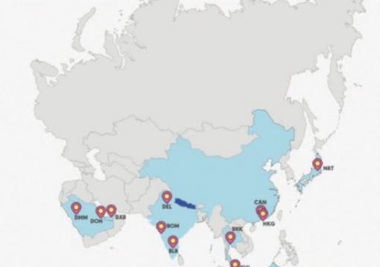
A diplomatic exchange took place at a foreign policy seminar in Bangladesh this week after a presented map erroneously depicted Jammu and Kashmir as part of Pakistan. The graphic was displayed during a keynote presentation by former Bangladesh High Commissioner to India, Ahmed Tariq Karim, at a regional integration conference hosted by the Bangladesh Institute of International and Strategic Studies (BIISS).
Pooja Kumari Jha, Second Secretary at the Indian High Commission in Dhaka, immediately raised a formal objection from the audience. “Sir, this is an incorrect map. Jammu and Kashmir is an integral part of India,” Jha stated. Following her intervention, Karim clarified that the visual aid had been utilized “for representational purposes only” and “doesn’t project actual boundaries.” Jha acknowledged the explanation but firmly reiterated New Delhi’s established territorial stance, responding, “I understand, sir, but Jammu and Kashmir is an integral part of India, and it is misrepresented here. So I wanted to point it out.”
The incident follows a pattern of proactive cartographic interventions by Indian officials at global assemblies. Last month, India’s Permanent Representative to the United Nations, P. Harish, asserted during a UN General Assembly session that the region remains an inalienable territory of India, countering narratives raised by Pakistani delegates.