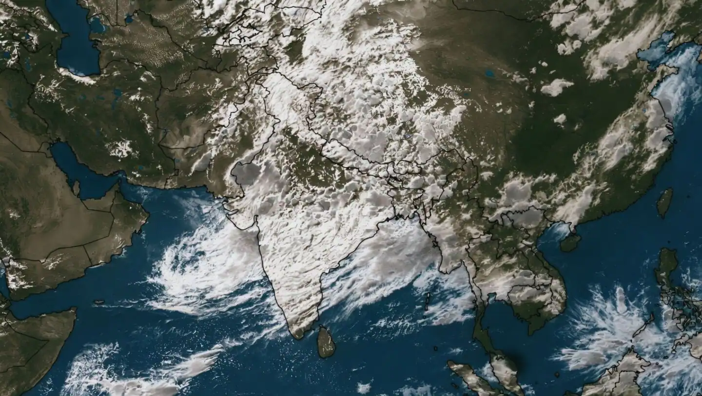
Satellite imagery has captured an expansive monsoon convergence zone stretching 7,000 to 10,000 kilometers from northern India across the Himalayas and China to South Korea. The continuous rain corridor highlights one of the most intense phases of the ongoing 2026 southwest monsoon. Driven by moisture-laden Indian Ocean winds interacting with continental atmospheric systems, the convergence draws warm air into a broad rising zone, cooling into rain-bearing cloud formations across the continent.
This atmospheric alignment has triggered heavy precipitation across northern and central India. Recent rainfall estimates indicate nationwide daily precipitation reached 170% to 180% of normal averages over two consecutive days, marking the wettest spell of the current season. Heavy downpours have covered Uttar Pradesh, Uttarakhand, Punjab, Haryana, Delhi-NCR, and Rajasthan, significantly addressing early-season rainfall deficits. Meteorologists note the spell will replenish reservoirs and support agricultural operations for the ongoing kharif cropping cycle.
However, the heightened monsoon activity has prompted regional safety alerts. Authorities have issued warnings for potential flash floods, waterlogging, landslides, and rising river levels, particularly in vulnerable hill regions including Himachal Pradesh and Uttarakhand. Weather forecasts project the active convergence zone to persist over the coming days.